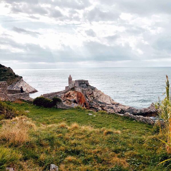
Rocca di Mezzo, L’Aquila, Abruzzo, Italy
Along the state road 696 (42.19071 13.52817) at Rocca di Mezzo, deviating on foot along a shepherds’ path you reach a ditch with a retaining wall on the northern side.
At the test of the rods (‘L’ or Omega), an access ‘dromos‘ is shown leading to a Menhir. Walking along the energy corridor we turn around the artifact with an anticlockwise trend (anti-deosil); the corridor leads to a precise point located to the east side, along the major axis. Here the Lecher antenna responds to the length of 80mm and 181mm corresponding to telluric channels and focus points respectively.
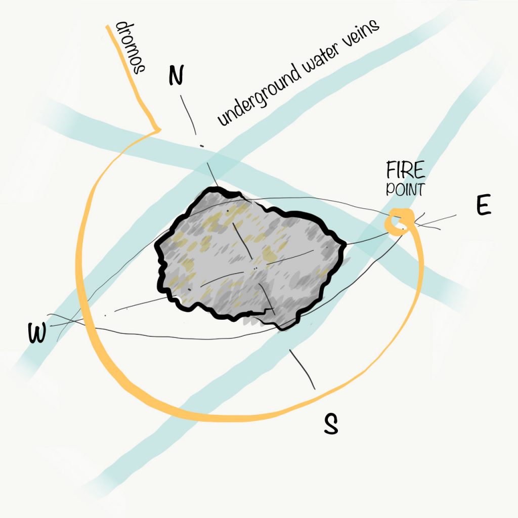
Top view with underground water veins (blue) and access path (yellow)
The Menhir, about 175cm high for the part exposed from the ground and with a tapered top, has a ‘vescica piscis‘ plant of about 100x50cm with a major axis in an east-west direction and a minor axis in a north-south direction.
The object stands at the crossing of three underground layers, two of which tangent the perimeter in an east-west direction, while the third tangent on the shorter side with a north-south trend; this configuration emanates 50,000 Angstrom.
Made of local stone by veins of two different composition (one gray, the other beige). This gives a different material-dependent polarity that alternates in levels along the height.
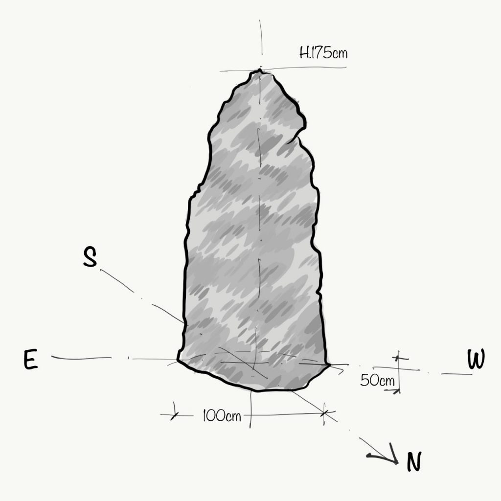
Front view